


Maps and the 20th Century: Drawing the Line
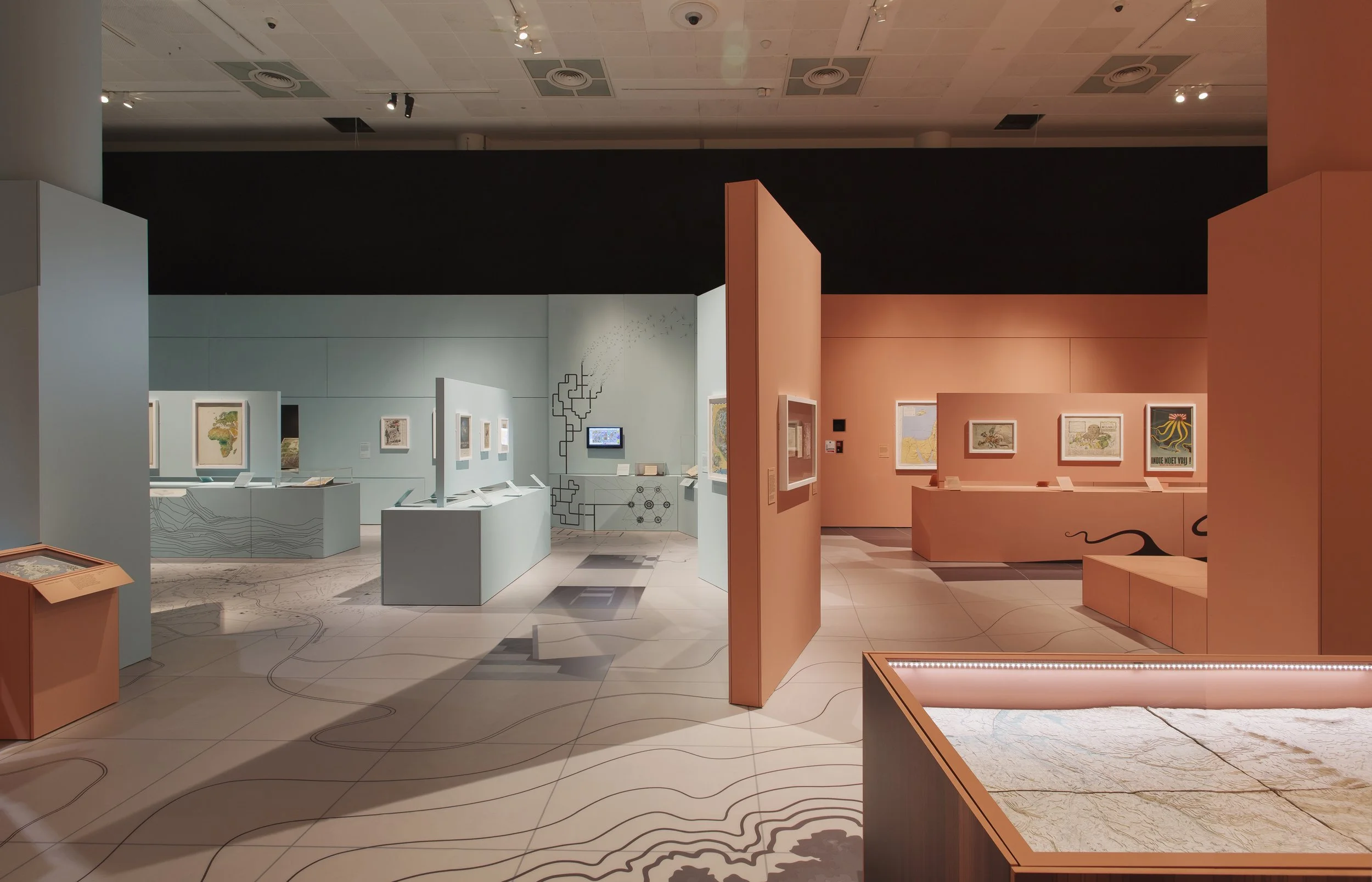
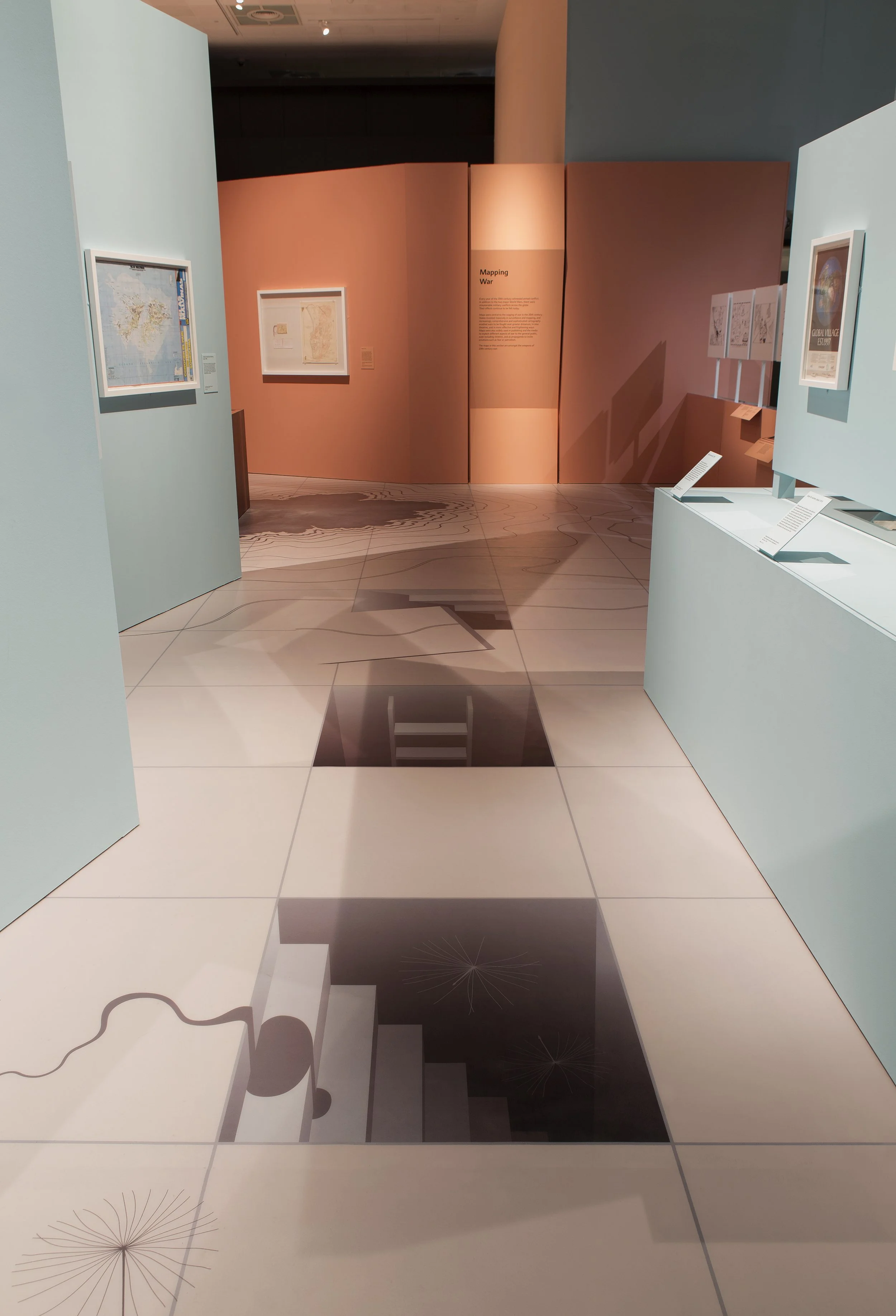
We wanted the visitor to feel as though they had literally stepped onto a map so an essential part of the design became a bespoke illustrated floor installation that covered the entire gallery footprint, placing the visitor onto a map to immerse them in the experience and provide moments of surprise and intrigue throughout the exhibition.
As the installation transformed it evolved to convey the ubiquitous nature of maps and journeyed from dramatic tension and uncertainty to abstracted playfulness, incorporating anamorphic illusions and inhabiting the floor, plinths and walls, changing its character as the narrative required, reinforcing the idea present in most of the maps that a 2D language can express a 3D world.
We maximised surface area to give the content breathing space and subtly referenced a ‘folded map’ language throughout the structural elements, designing a layout that gave the visitor freedom to explore each area. The exhibition colour palette drew from the maps themselves and were carefully chosen to work within each theme.
Our role Exhibition design / Graphic design / Illustration / Artwork