
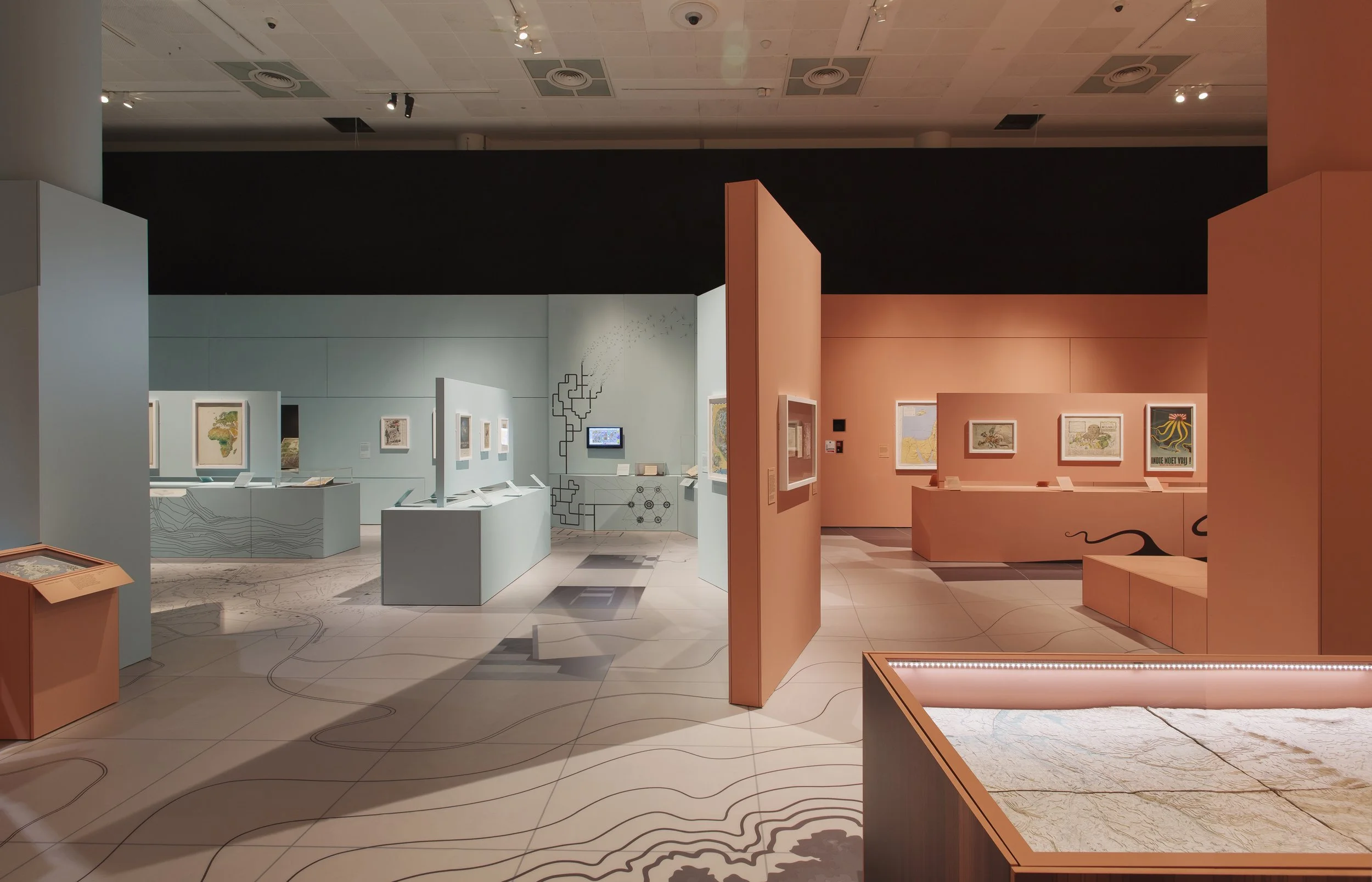


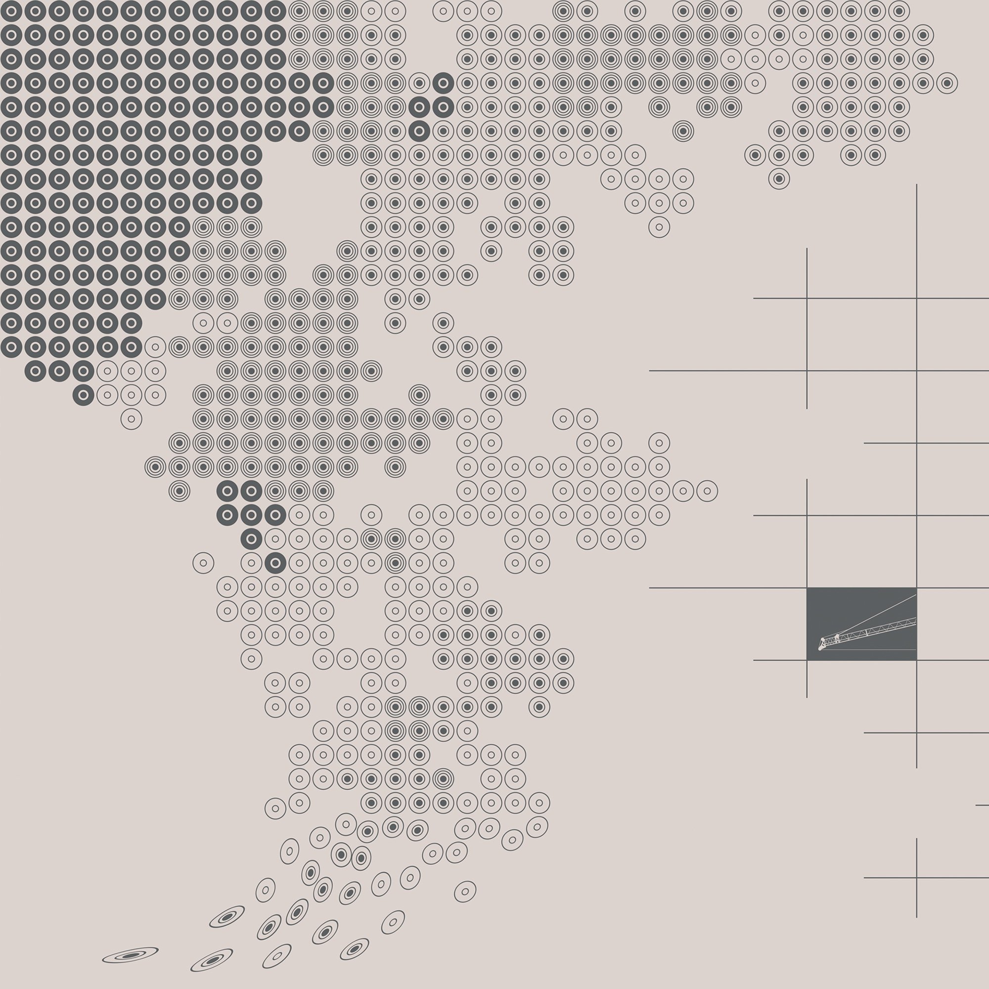


Maps and the Twentieth Century floor design
This illustrated installation spanned 530 square meters to form the foundation of the visual identity of the exhibition we designed for the British Library, incorporating narrative themes whilst integrating with setwork elements throughout the space.
The artwork was created by Mel to reflect the huge diversity and purposes of maps and adopted several styles of expression to highlight how maps can convey endless ideas. The installation contained visual illusions and transformed to inhabit multiple surfaces, reinforcing connections between exhibition themes and articulating how a 2D language can come to express a 3D world. The drawing took six weeks to complete.